Water, made visible for your area
OurWater is a free water monitoring and learning app, built on the MARVI approach to participatory water management. Record readings from wells, rain gauges and other local water sources — then see them on a map and watch the trends.
OurWater is free on Google Play and the App Store. Prefer not to install? The web app has every feature too.
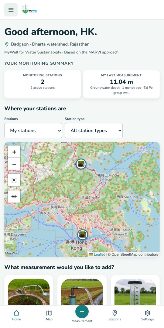
One place for your local water story
OurWater supports local water monitoring of every kind — wells, rivers, springs, rainfall, water quality and water storage systems.
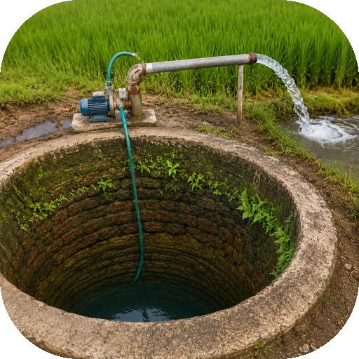
Stations for every source
Wells, boreholes, rain gauges, check dams, rivers, springs, reservoirs, rainwater tanks and more — with photographs, notes and locations.
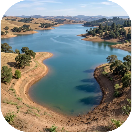
Interactive map
Every station on one map. Draw a monitoring area to focus on the wells, gauges and dams that matter to you.
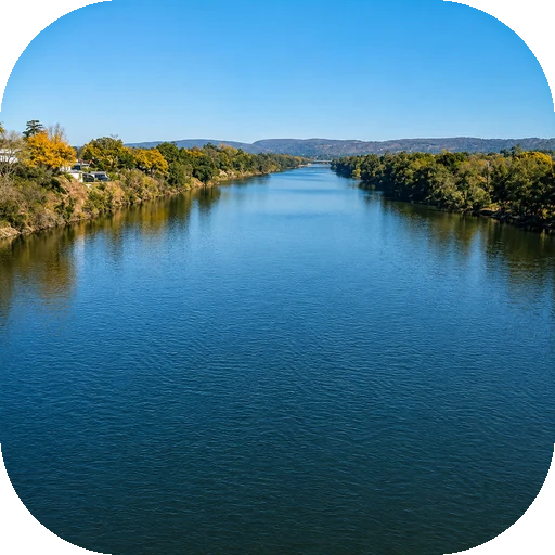
Trends and comparisons
Compare current and historical measurements with simple charts, summaries and seasonal patterns.
See it in action
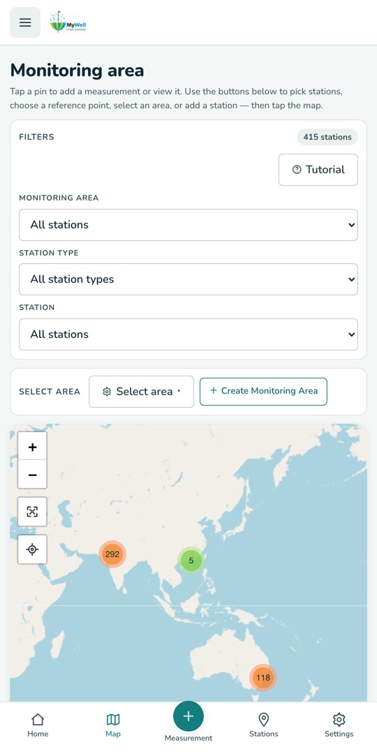
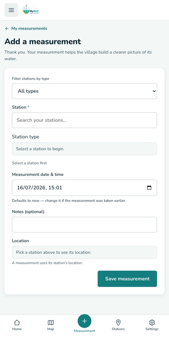
The same app, from the field to the big picture — pick your stations on the map, record a visit, and watch the trend build.
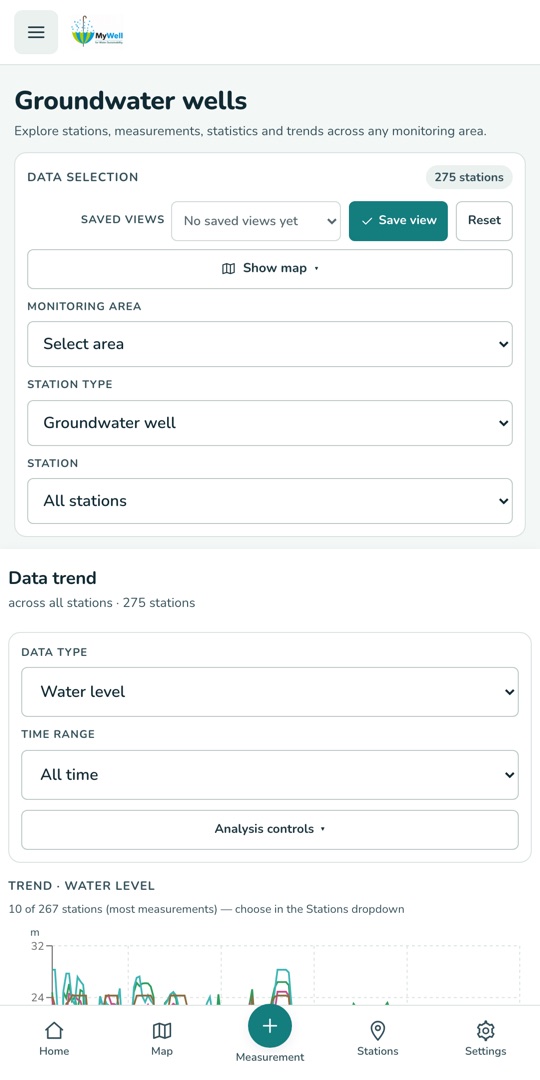
Who is it for?
OurWater is designed for farmers, volunteers, schools, universities, researchers, non-government organisations and government agencies. It supports practical learning, citizen science and informed discussion about groundwater, rainfall, surface water and other local water resources.
Everything you need to monitor local water
From a single village well to a national dataset — the same simple tools.
Stations for every source
Wells, boreholes, rain gauges, check dams, rivers, springs, reservoirs, rainwater tanks and more — with photographs, notes and locations.
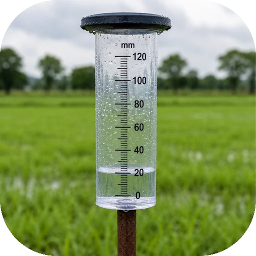
Field-ready recording
Log groundwater levels, rainfall, water quality, surface water and storage readings in seconds, right at the station.
Interactive map
Every station on one map. Draw a monitoring area to focus on the wells, gauges and dams that matter to you.
Trends and comparisons
Compare current and historical measurements with simple charts, summaries and seasonal patterns.
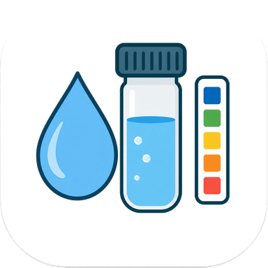
Water-quality safe bands
Quality readings are charted against safe-range guidance, so out-of-range values stand out immediately.
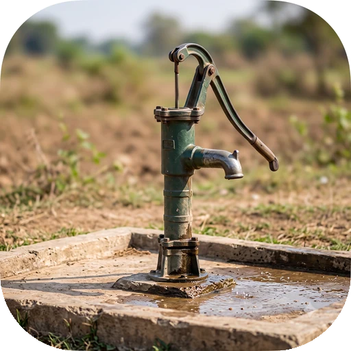
QR codes on stations
Print a QR code for a station; scanning it opens that station directly in the app — perfect for shared field sites.
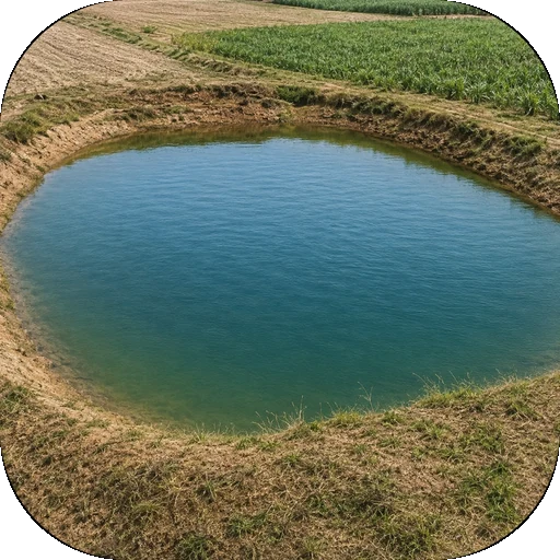
Teams and organisations
Work as a group: organisations manage their own members, stations and data, with clear roles for contributors and viewers.
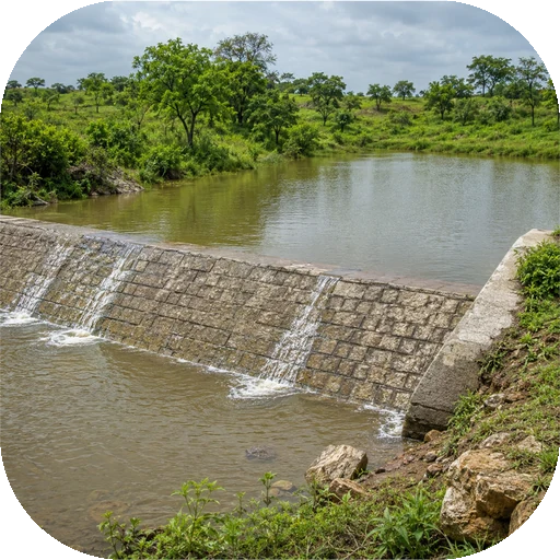
Bulk data upload
Bring existing records with you — template-based file uploads move whole station histories into OurWater.
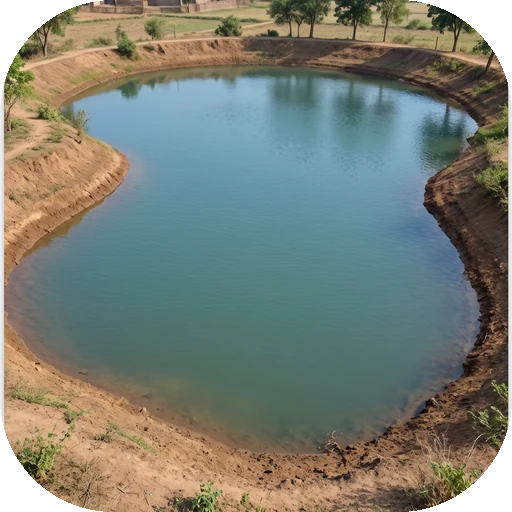
60+ languages
The whole app — menus, forms, guided tours — is available in more than sixty languages.
How it works
Four steps from "we should watch that well" to a living record your whole team can read.
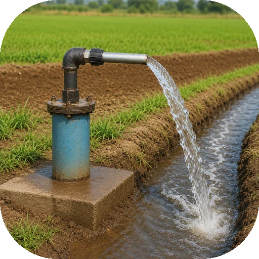
Create a free account
Sign up with your name and email. New members can record data straight away, and a built-in tour shows you around.
Add your stations
Register the wells, rain gauges, dams or springs you monitor — name, location, type, photo. Each gets its own page and code.
Record readings
On each visit, log the water level, rainfall or quality readings — with photos and notes if you like.
Watch the trends
Charts and summaries build up automatically. Compare seasons, spot declines early, and share the picture with your team.
Watch how it's done
Twenty-six short tutorials, narrated, recorded from the real app. Start with the first one and you will have an account in about 5 minutes.
Watch the short workshop tutorials
Create your OurWater account4:38
How to make a free OurWater account, one box at a time: your name, email, a username that is checked as you type, your country and language, a strong password, the Terms and the age tick, then the code that arrives in your email, and what to do if it does not.
Phone version (portrait, 5:32)Sign in, and if you forget your password4:31
How to sign in to OurWater with your email or your username, what the red messages mean, how to reset a forgotten password with a code from your email, the first-sign-in Terms page, and how to sign out.
Phone version (portrait, 5:31)Finding your way around OurWater4:55
A tour of the OurWater menu on a computer and on a phone: the station type chooser, Easy and Advanced, the Account group, your profile menu, your language, and the helper button.
Phone version (portrait, 4:26)Your Home page: Easy and Advanced4:48
A close look at the OurWater Home page: the Easy view with its six big buttons and your stations map, then the Advanced view with the monitoring summary, the add-a-measurement picker, shortcuts and recent activity.
Phone version (portrait, 4:53)Your stations: find, filter and open one5:12
How to use the My stations page: the count and tiles, search, filters, grouping, list and grid, sorting, paging, the row buttons, and the station pop-up with its favourite button.
Add a station in five easy steps5:23
How to register a new station in OurWater: choose the kind (or describe your own), name it, set its place with your phone's location, typed numbers or the map, add a photo, review and save. Then a look at the station's page, its code and its QR label.
Phone version (portrait, 6:21)Your station page: photo, QR code, edit and delete5:10
A tour of one station's own page: its buttons, details and location, adding or replacing the photo, printing the QR code for the well, changing the details, and deleting a station you no longer need.
Keeping a station private4:07
What the three privacy levels mean, who can still see a private station, how to ask for a change with a reason, and how to cancel a request that is waiting.
Record a measurement, start to finish5:03
How to record a water measurement in OurWater: choose the station, set the date and time, type the depth to water, add temperature and water quality, write a note, save, and find the new rows on your list.
Phone version (portrait, 6:00)Add a photo, a short video or a sensor reading4:01
How to add a photo, a short video of up to ten seconds, or a Bluetooth sensor reading to a water measurement in OurWater, and where to find them afterwards on your list.
Your measurements: search, fix and export4:53
How to use My measurements in OurWater: search and filter your list, sort and page through it, read the status labels, play a visit's video, fix a mistake on the edit page, open a station's history, export it to Excel, and see the measurements waiting to upload when there was no signal.
Saving a measurement when you have no signal4:04
How OurWater keeps your measurement safe when you have no signal: the offline message, saving on your phone, the Waiting to upload box, the upload that sends itself, what happens if the server refuses a visit, and why you never need to wait for signal.
Phone version (portrait, 4:40)The map: stations, filters, search and areas5:22
How to use the OurWater map: see your stations and everyone's, open a station card, filter by kind and distance, search for a station, a place or GPS numbers, and save a group of stations as a monitoring area.
Phone version (portrait, 6:40)Reading the data: trend and statistics5:14
Read the water data of a whole area: the Data trend chart, how to read a falling water level, and the Data statistics page with its distribution, quality checks and station table.
Advanced trend: build your own chart4:44
Build your own chart in OurWater, one data series at a time: pick a station and a data type, draw it as a line, bars or an area, give a second kind of measurement its own axis, set the time range, save the chart as a view and open it again.
Weather: your forecast and how much to water4:38
How to use the Weather page: choose your place by searching for it, read the four boxes for right now, the irrigation box and its question mark, and the seven day table, and compare the forecast with your own rain gauge.
Phone version (portrait, 5:33)Weather: exact places, units and a weak signal4:03
How to get the Weather page right: type the exact coordinates of a station, see what happens when a number is wrong, switch between metric and imperial units in Settings, and what the page shows when the forecast cannot be reached.
Teams: start a team and invite people5:01
How teams work in OurWater: the Teams page, organisation teams and personal teams, answering an invitation, starting a team of your own, inviting a neighbour by email, roles, putting a station into a team, and leaving.
Your organisation: members, invitations and stations6:24
For Organisation Admins: the organisation page and its four tabs, members and invitations, giving stations to teams, asking members to bring their own stations in, and teams.
Requests, messages, favourites and recents5:15
Ask for a station's data and answer other people's requests, read and tidy your messages, message the admin, and keep a shortlist of favourite stations with your recent activity.
The tool marketplace4:12
What the Tool marketplace is, how to open a tool, how to ask for a new tool and what happens next, and what a Tool Admin can do: see who can use a tool and add people by email.
Check dam calculator: how much water went into the ground4:39
How to use the check dam calculator in the Tool marketplace: choose a check dam, load its measurements, fill in the dam's levels and pond survey, read the result, and keep the PDF report.
Help, feedback, learning and About4:21
Where to turn when you need help in OurWater: the Support page, how to send feedback and see exactly what is sent with it, how to message an administrator, the Learn about water page, and the About page with the people and partners behind the app.
Your profile: picture, name, password, sign out4:25
How to open your OurWater profile, choose a picture (and why photos cannot be uploaded), change your name and username, set a new password, find the Terms again, and sign out.
Settings: language, display, units and privacy5:09
A tour of the OurWater Settings page: choose your language (including a right-to-left one), make the text bigger or darker, pick your units and default place, share the app with a neighbour, and find the privacy options and the tutorials website.
Ask OurWater Guru, your water helper4:09
How to use OurWater Guru, the helper built into the app: the round button, the question counter, the suggested questions, asking about a well and reading the answer, what it can and cannot do, photo and voice help, and closing it.
A shared, public water dataset
Every OurWater reading joins a shared dataset that anyone with an account can explore — usable for non-commercial education, research and local water management. Records from OurWater users sit alongside major public datasets.
🇦🇺Australia — groundwater
Bureau of Meteorology bores from the Global Groundwater Monitoring Network — about 25,000 wells with decades of water-level history.
🇮🇳India — groundwater
Central Ground Water Board stations via the Global Groundwater Monitoring Network — about 40,000 wells with quarterly readings.
🇦🇺Australia — rivers
WaterNSW surface-water gauges, with millions of river-level readings across New South Wales.
🌏OurWater users
Readings from farmers, volunteers, schools and researchers — the MARVI citizen-science record that started it all, growing every day.
Personal details stay private: who recorded a reading is visible only inside their own organisation. See the privacy policy for the fine print.
Frequently asked questions
Short answers to the questions we hear most.
How much does OurWater cost?
Nothing. OurWater is a free app developed through the MARVI project for education, citizen science and local water management.
Can I use it on both my phone and a computer?
Yes — the same account works in the web app and the mobile app, and your stations and readings stay in sync.
Who can see the data I record?
Readings join a shared water-monitoring dataset that signed-in users can explore, but your personal details are visible only within your own organisation. Location of stations is part of the shared record; who recorded a reading is not public.
Do I need to be an expert?
No. OurWater was built with farmers, students and volunteers — a guided tour walks you through the app, and recording a reading takes under a minute.
I forgot my password — what do I do?
Use "Forgot password?" on the sign-in screen and we'll email you a reset code.
Can I delete my account?
Yes, at any time, directly in the app: Settings → Delete account. Your account and personal data are removed immediately.
I have existing records in spreadsheets — can I import them?
Yes. OurWater has template-based bulk upload for stations and measurements, so existing histories can move in without retyping.
Something else? Email marvi.groundwater@gmail.com — we're happy to help.
Start making your water visible
Join farmers, schools, researchers and agencies already monitoring their local water with OurWater.
Create a free account Sign in